
Finding Los Banos Street Residents
A Los Banos street directory search should move from the place to the record, then from the record to a cautious household clue. Start with the normalized address. Merced County search guidance says to try the street number, omit Street, Road, Drive, or Lane, and shorten a direction such as West to W. Save the exact string you tried. The same address may be handled by city Building, county Accela, or a county parcel tool depending on jurisdiction.
The order below follows the address chain. It shows why a street-by-street result is a blend of owner, land, permit, and historical records rather than a list of every person who lives on a block.
- Run the address through Merced County property or tax search and capture the APN, situs, mailing line, and assessee when shown.
- Open the Merced County GIS or survey map, click the parcel polygon, and note subdivision, lot, block, jurisdiction, and nearby parcel keys.
- Search the owner as a grantee in RecorderWorks, retrieve the acquisition reference, and note earlier grantors, legal description, and recording date.
- Ask Los Banos Building for a city permit record by address or APN, or use county Accela when the parcel is outside the city jurisdiction.
- For an older household, use the street or criss-cross section of a Polk volume, then compare the entry with a census enumeration and other dated clues.
Los Banos Address to APN
The APN is the bridge in the Los Banos street directory. A street name can be spelled in more than one way, but the parcel number links map, assessment, tax, permit, and deed work. County property guidance recommends a street number first, then a simpler street form when a full address fails. Accela offers a wider address form for public records and applications, but its results are county permit data, not a complete owner or occupant roll.
| Accela field | Use in an address search |
|---|---|
| Search type | Choose Address, Parcel Information, Record Information, or Licensed Professional. |
| Street Number | Minimum field for address mode; the portal advises entering at least the number. |
| Direction and Street Name | Use the direction selector and a name that can accept a wildcard such as M%. |
| Street Type and Suffix | Use the portal's selectors when a full street form is known. |
| Unit, City, State, ZIP | Narrows a multifamily or county permit query; a ZIP does not set the legal jurisdiction. |
| Parcel Number | Switches to a stable APN lookup when the street label is hard to match. |
The Merced County Accela property lookup can show a record or application number, type, status, application or issue dates, parcel and address, project description, applicant, licensed professional, related records, and inspection events when public. Anonymous access is limited, and registration unlocks more services. A city-issued Los Banos permit may not appear there, so the APN is a guide to the next custodian, not proof that no file exists.
The Merced County property-search guidance shows the address and parcel fields used in the first leg of an address search.
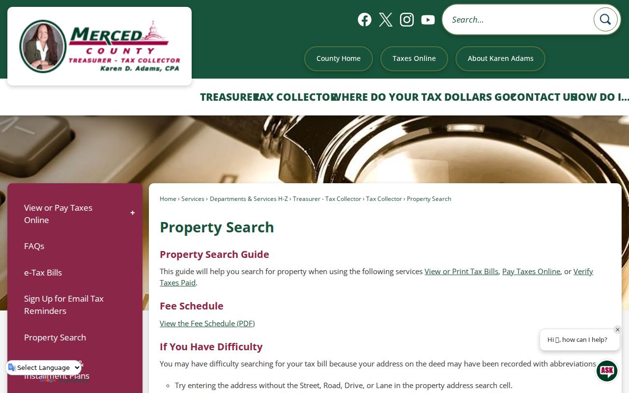
Capture the APN before you move to a map, because it gives the rest of the street directory a repeatable key.
Browse Los Banos Streets in GIS
The Merced County GIS Hub and Surveyor resources let a researcher see how a street sits inside parcel and legal geography. Search the address or APN, zoom until road labels and parcel lines are clear, and use Identify or the parcel popup. Record the APN, jurisdiction, subdivision or lot, and the fronting streets. Click adjacent parcels one at a time. A corner parcel belongs in both street views, while a multiunit parcel may have one owner for several door numbers.
Layers can include parcel boundaries, roads, jurisdictions, zoning, flood information, or district lines when the live viewer offers them. The map is informational. A recorded legal description or survey controls if the line on screen and the recorded instrument differ. The County Surveyor also lists government townships, corner records, unrecorded surveys, and Miller & Lux records, which can matter when a west-side parcel trail reaches ranch or irrigation-era language.
The Merced County Surveyor page is the official source for the parcel-map and survey-record entry points.
Map work turns a street label into a parcel sequence, but it does not turn mapped ownership into a list of people in each home.
Los Banos Records Searchable by Street
These are the main address-keyed sources behind a Los Banos street directory. The coverage table separates what appears from who keeps it. It also shows why a researcher should not use one portal as a substitute for the whole street record chain.
| Record set | Keeper | What appears | Access |
|---|---|---|---|
| Assessment roll | Merced County Assessor | APN, assessee or owner, situs, mailing, values | Online services or counter |
| Tax bill | Merced County Tax Collector | Address or APN, tax year, bill and payment status | Property search |
| GIS and parcel map | County Surveyor and GIS | Parcel shape, roads, jurisdiction, mapped layers | Free map browse |
| Deeds, liens, releases | Merced County Recorder | Indexed parties, document type, date, reference | 1963 forward online; kiosk or order for images |
| City permits | Los Banos Building | Owner, applicant, contractor, work and inspection dates | Email, in person, or CPRA request |
| County permits | Merced County Accela | Applications and property records in county jurisdiction | Limited anonymous search |
| Historic directory or census | Library, museum, NARA | Past occupants and households at a dated address | In person or genealogy access |
The APN ties the roll to the map and can help find a deed or permit. It does not tie the owner to every occupant. Use the address as a starting point, then carry the parcel, legal description, and date through each source.
Trace Los Banos Deeds Along a Street
RecorderWorks is indexed by party and document, not like a modern street roster. Start with the current owner or assessee, search that name as grantee, and find the acquisition instrument. Read its grantor, legal description, APN, and recording reference. Then search the earlier grantor as a grantee. Repeat the chain until the online index ends. The RecorderWorks official-records page is the start for the January 1, 1963 to present index.
At the 1963 boundary, use the Recorder counter's manual indexes and deed books. Search married and former names, trusts, entities, and both sides of a transaction. A document image may show vesting language, a return address, an APN, a legal description, signatures, and notary acknowledgment. An index entry alone is not the full deed and does not prove a current home.
- Grantor
- The party who transfers an interest in the recorded instrument.
- Grantee
- The party who receives the interest in that instrument.
- Legal description
- The formal land description, such as lot and block or a township description, that controls when a street label changes.
- APN
- The assessor's parcel key that helps join maps and tax records, though the deed's legal description controls title.
The RecorderWorks launch page documents the online cutoff and points to the county's official-record access route.
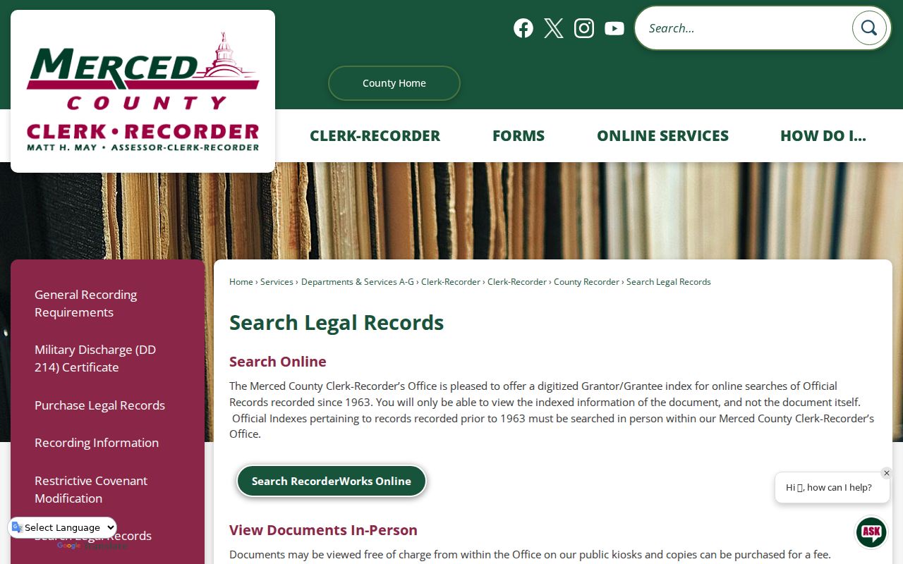
Use the index to find the reference, then use the kiosk or order route when the deed text matters.
Date Los Banos Properties With Permits
Permit records add a physical timeline to the Los Banos street directory. A city Building file may associate an address with an applicant, owner, contractor, work description, valuation, permit or issue date, inspection date, and APN, subject to redaction. The city did not expose a public permit-query database in the research, so ask the Building Department or City Clerk for existing files. Forms can be delivered in person or emailed with attachments.
For a parcel outside incorporated Los Banos, use Merced County Accela's Building, Planning, Enforcement, Licenses, or Public Works modes. A 93635 postal label does not decide whether city or county permit records apply. Public Works can hold encroachment, sidewalk, curb, driveway, excavation, water, sewer, and right-of-way files. These files date work or a responsible contact. They do not prove who slept at the address.
The Merced County Accela portal is the county route for public permit and property records where county jurisdiction applies.
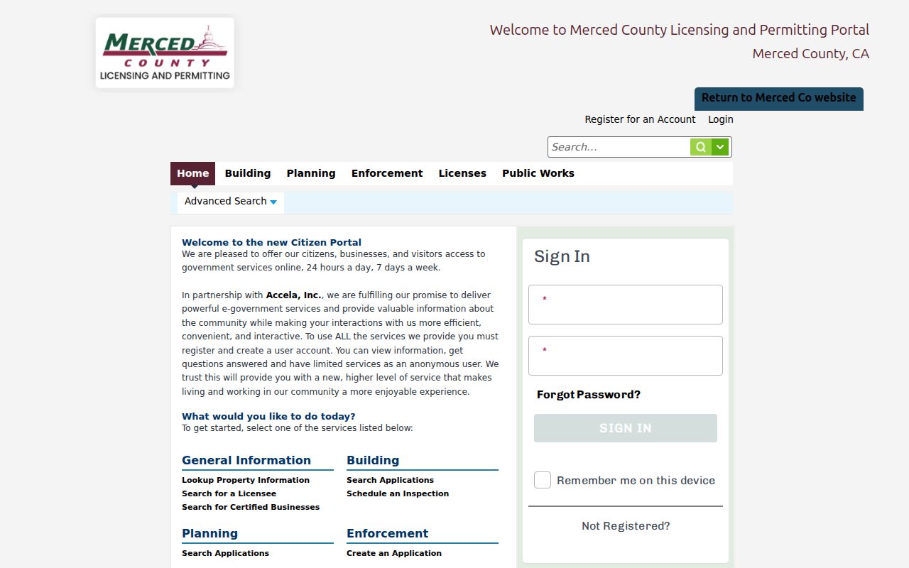
The permit view supplies a work chronology that can explain a parcel change without being treated as an occupancy register.
Read Historic Los Banos Polk Streets
Older street-by-street work moves from current parcel records to the library and museum shelf. The Merced County Courthouse Museum verifies county business directories for 1877 and 1884 to 1885, a 1890 state gazetteer, selected Polk Merced City Directory years from 1914 through 1966, and Polk Merced-Atwater issues from 1971 through 1989. Countywide titles can carry Los Banos even when the spine says Merced, Merced-Madera, or another nearby place. Read the scope page and town index.
A later volume may have an address-order or criss-cross section. A street name and sequence can reveal an occupant who is hard to find in the alphabetical section. Look for the title page, coverage statement, and abbreviation key first. Marks such as h, r, or wid are directory conventions. They need the volume's own key and do not establish modern ownership or a legal renter status.
For a full shelf account, use the Los Banos city directory collections page. The street directory uses the historical volume as a tool for a dated address, not as a second modern property roll.
Los Banos West-Side Parcel Records
Some Los Banos property chains do not stay in neat lot-and-block language. The Merced County Surveyor specifically preserves Miller & Lux records along with government townships, corner records, and unrecorded surveys. That is an unusual local bridge when a modern APN trail runs into ranch, canal, irrigation, or large landholding descriptions. Save the old legal language instead of forcing it into a new street address.
Use the Recorder for recorded instruments, the Surveyor for map and survey context, and the museum or library for family and agriculture manuscripts. Compare names, parcels, canals, and dates. A change from a rural route to a numbered street may reflect subdivision or growth, so a tract map and APN lineage can be stronger than a guessed address match.
The Merced County official-record copy page explains the order route when the street search reaches a deed image.
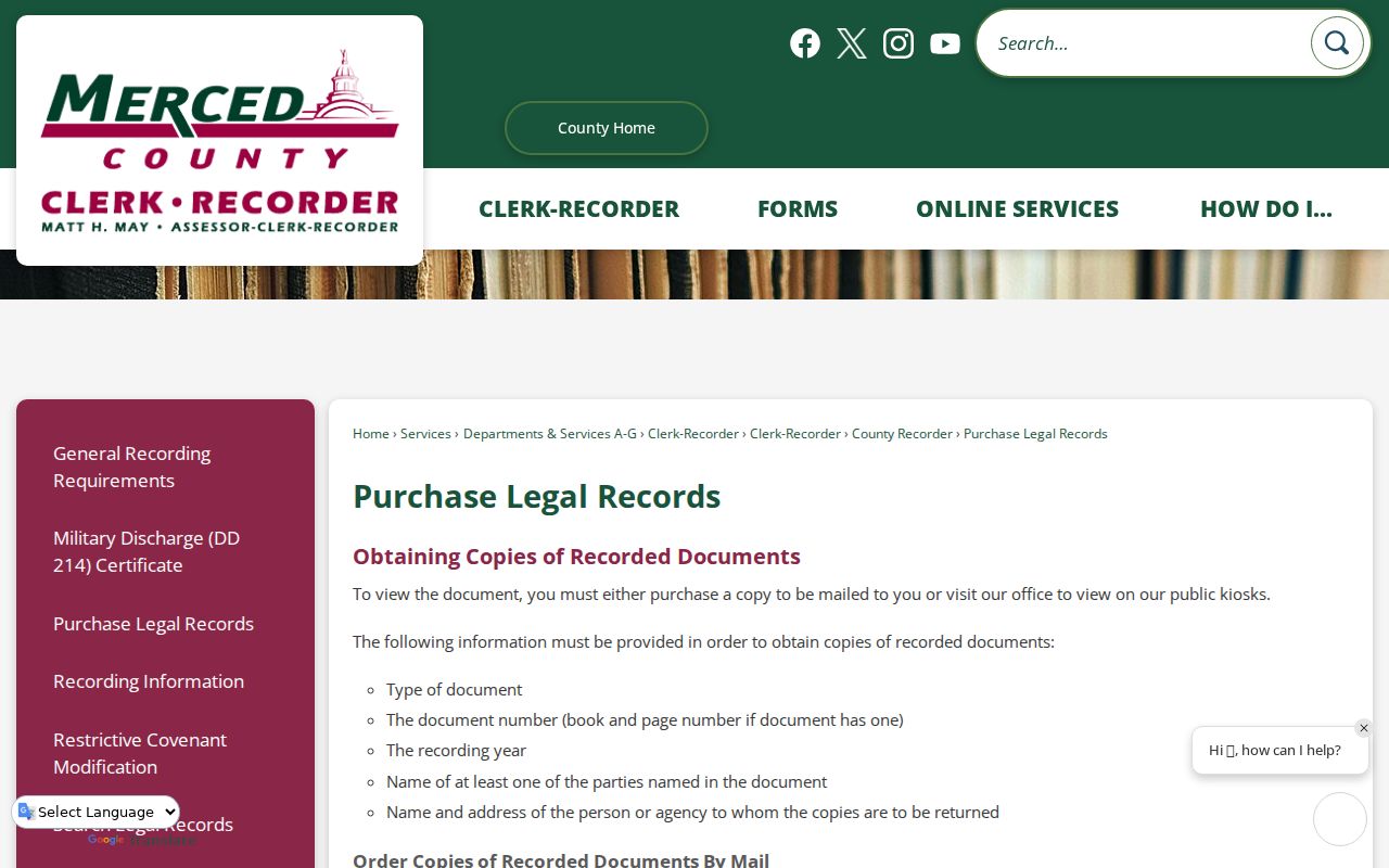
The copy route is the local next move when a legal description is needed to carry a street search into the older land trail.
Street Directory Terms for Los Banos Addresses
Several words in an address record can sound alike while doing different work. Define them before comparing one source with another. That small step prevents a Los Banos street directory result from turning a map clue into a claim about a household.
- Situs address
- The physical location of land or a structure, used by property, permit, and response records.
- Mailing address
- The place where tax or official mail is sent, which can be an owner, agent, trust, business, or post-office address.
- Parcel
- A mapped land unit with an APN; one parcel can serve several units or addresses.
- Plat
- A recorded map that lays out lots, blocks, streets, easements, or subdivision lines.
- Criss-cross directory
- A street-order section that reverses the name-to-address path and can show historical occupants.
When a historic street name, postal label, and parcel line disagree, preserve all three forms and test them against the deed's legal description, tract map, and cross streets. Do not assume that a missing modern address means the earlier record never existed.
Los Banos Street Directory Limits
A deed or tax roll shows an ownership or tax-mail relationship. It does not list every person in the home. Renters, minors, household members, visitors, and people at a different mailing line may not appear in any public Los Banos street directory. My Voter Status cannot be browsed by neighbor address. DMV residence data is closed, customer-specific utility data can be confidential, and Safe at Home protects substitute-address participants.
Lawful personal use. Use address records for family history, property history, civic research, and other lawful personal needs. Do not use a Los Banos street directory to stalk, harass, intimidate, or harm anyone, and do not treat an owner clue as proof of occupancy.
The most reliable street search ends with a source note: what the record says, when it was checked, and what it cannot establish. That habit keeps the address chain useful for both current parcel work and the older household trail.